TOUR INFO
Departure & Return Location
Marrakech/Imlil (Google Map)
Price Includes
3 Nights Accommodation (as per tour details)
English Speaking Tour Guide
Meals (as per tour details)
Mules Or Porters (as per tour details)
All transportation in destination location
Price Excludes
Guide Tips
Driver Tips
Any Private Expenses

DETAILS
Day 1
MARRAKECH - IMI OUGHLAD - TIZI N’TACHTE - TIZIANE
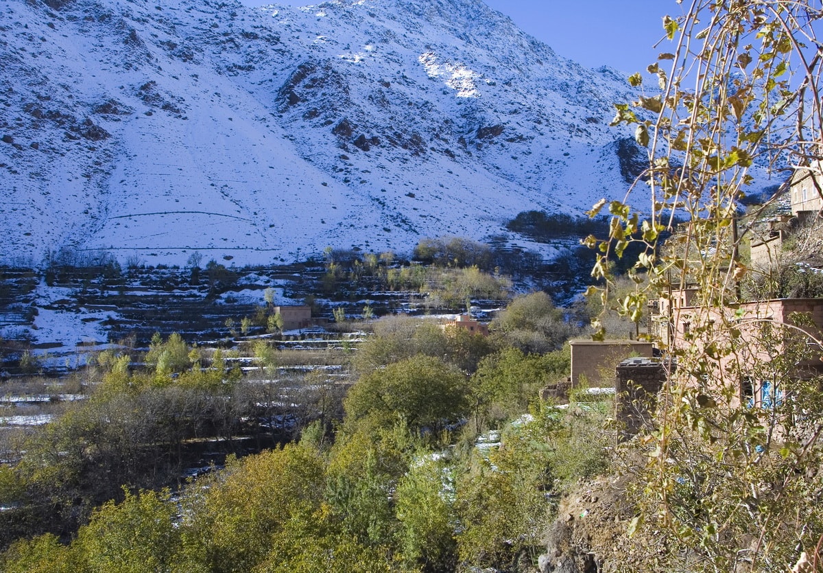
After breakfast we board our transport for the 1 ½ hour drive to the trailhead. For 45 minutes, the road south crosses the empty plains, the outline of the High Atlas becoming gradually more apparent. The fertility of the valley is immediately apparent with stores selling boxes of apricots, plums, melons, cherries, oranges and apples. Restaurants on the far side of the river, accessible over precarious bridges, arrange their plastic seating in the shade of the fruit trees.
You may have to walk to end of the track at Agadir n-Ait Boulmane (1,498m/4,915ft) to pick up the mules. This is a more attractive Berber village, busy with women returning from the fields laden with bundles of long grass for the cattle. From here it is about a five hour walk to our first camp.
The valley from here to camp at Assaka is along what the locals refer to as “the gorges”. Whilst they are not by any means vertical sided, they are geologically unusual in the Atlas mountains, and in the spring the valley bottom becomes an intricate maze of irrigation channels making every possible square inch cultivable. The locals are happy to wander along the valley bottom enjoying the shade of the trees, the running water and the socialising. Of course this means a lot of walking along the sides of irrigation channels, hoping from boulder to boulder, and crossing bridges made of little more than sticks and rocks (and they can do this with their eyes shut). For us, the mule path is a better option, climbing well up out of the gorges and giving us our first views of the surrounding landscape.
After 1¼ hours the valley splits with the right hand branch heading off towards Timichchi and Oukaimeden. We go left and soon after the mule track climbs high up on the left hand side of the valley. The berber village of Tamatert (1,655m/5,430ft) is reached after another hour or so, and by now the path is very much in the heat of the sun on the open hillside. The route up to the Tizi n’Tamatert is now very apparent and looks deceptively hard! A long hour, winding up through increasing numbers of Juniper trees, brings us to a pass on a rocky ridge with fine scrambly viewpoints. From here, the short trek back down into the valley is clear, as is tomorrow’s climb back up and over the Tizi (col) n’Amenzil. It is only half an hour down to camp where the muleteers will be set up, and ready to greet you with a glass of berber mint tea! About 5 hours walking.
Overnight camping.
NB : after lunch, another possibilité is available which walk up to gorges all day till they get to the camp , for this wearing good sandals or trainers will be need to walk on the water. On lucky days, its possible to see colonies of monkeys feeding on walnuts.


Note
This itinerary is just a guideline and subject to change to suit local weather conditions